DostupnostTento produkt aktuálně není v prodeji.
Skladová dostupnost
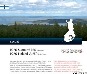
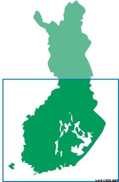
Popis produktuExplore southern Finland with 1:5,000 to 1:10,000 topographic map data from National Land Survey of Finland. Whether you're out for a hike or a climbing tour, you'll get where you need to go.
- Displays data in 3 languages: Finnish, Swedish and English.
Features searchable addresses, geographic places and mountain ranges.
- Displays digital elevation model (DEM) for 3-D profiling and cadastral boundries and inland lake charts
- Offers ActiveRouting¹, allowing you to customize and specifically plan routes for the entire road and trail network. The activity-specific map displays highlights of suggested routes in addition to dedicated biking and hiking routes.
Přibližná velikost zabaleného produktu nebo prodejního obalu je 150 x 150 x 10 mm.
Hmotnost0,08 kg(spolu s prodejním obalem 0,09 kg)
Záruka24 měs.
KomentářePřidat komentář
Značka


 — Zobrazit původní text