Sports»Outdoor activities»Electronics»GPS»Hiking GPS»
Garmin
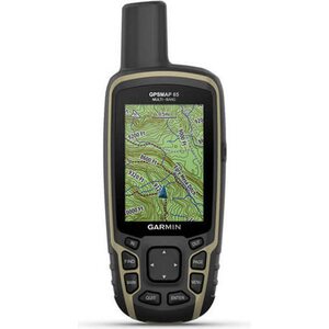
GPSMAP 65 ja TopoActive Europe -kartat (Länsi-Euroopan pakkaus)
359,00 €
(286,06 €, VAT 0)
(286,06 €, VAT 0)
Available in stock
(10)

| Overall rating | (41 reviews) |
 — Show original
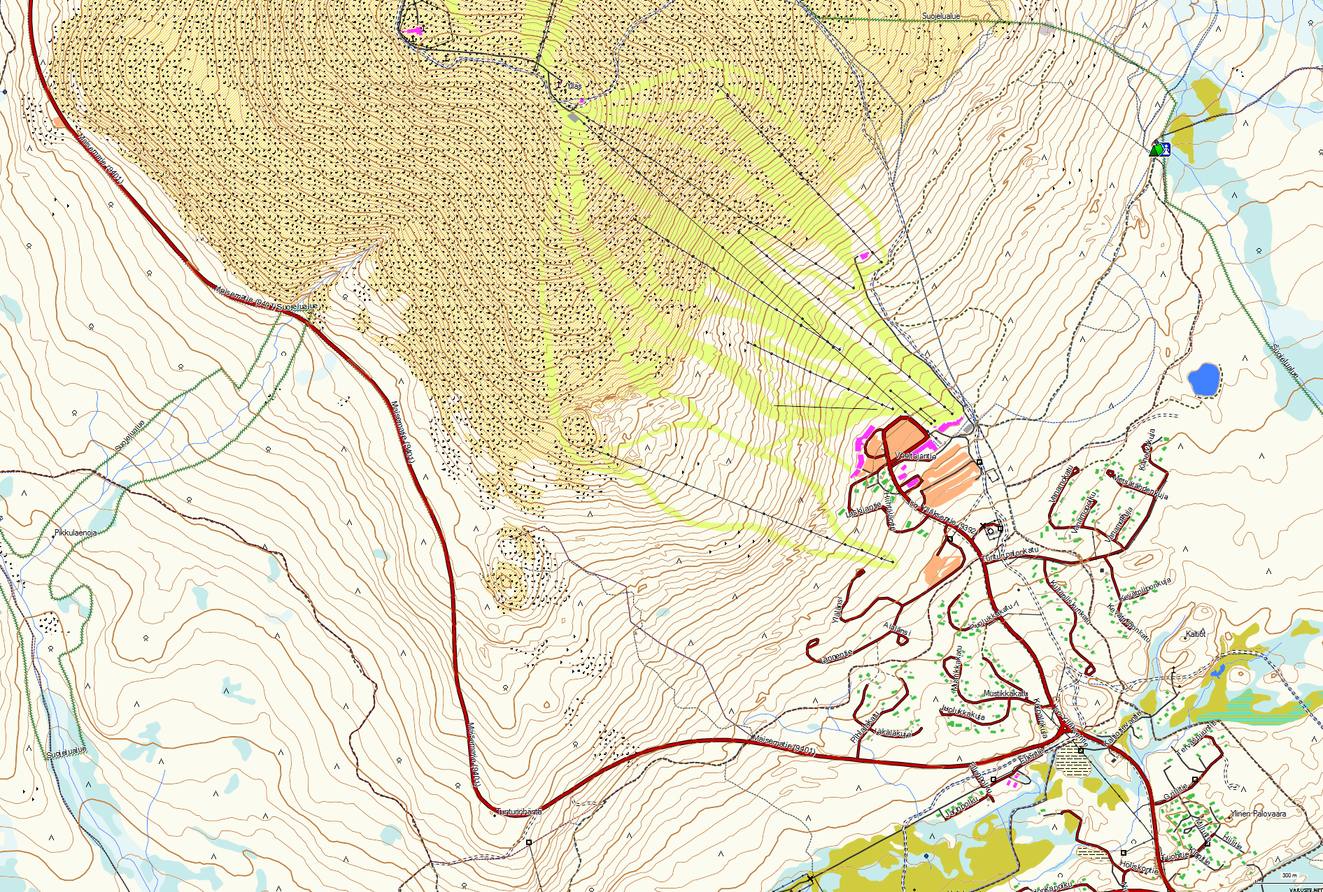
A microSD card suitable for Garmin GPS devices with a memory card slot, which is preloaded with a Terrain map prepared based on the map data of the National Land Survey (Author is Teemu Peltonen. Licensed under a Creative Commons Attribution-Non-Commercial 4.0 Unmodified license.)
An up-to-date version of the map can always be downloaded for free from https://kartat.hylly.org/
Licenses for using the map:
Electronic maps are a navigation aid when using official paper maps. The purpose of electronic maps is not to replace official paper maps. Only official charts and information for mariners publications contain the necessary information for safe navigation. As always, the ship's captain is responsible for navigation methods.
ATTENTION: Information about sea and land areas is always changing, therefore the information on the electronic map does not always include all the latest changes.
| Overall rating | ☆☆☆☆☆ |
— Show original — Show originalI just ordered a map like that, but the user interface on the Garmin device doesn't match it at all. The image that the Garmin shows doesn't show a single contour line, no paths, no precise terrain differences such as swamps, ditches or saplings, and no street or road names. So the product is wrong, or the map doesn't activate on the device.| Overall rating |
— Show originalWorth the price, although you can do without it.| Overall rating |
— Show originalGood resolution!| Overall rating |
— Show originalEasily installed on a navigator. The map base is very up-to-date, property boundaries are a good feature for forest trips.| Overall rating |
— Show originalI could have downloaded that for free online, but this wasn't too expensive.| Overall rating |
— Show originalEasily loaded into the nav. The elevation curves should be visible even on smaller scales, which is a shame on the etrex32.| Overall rating |
— Show originalThe best terrain map of Finland, I updated the GPS sound of the previous map, now there are new buildings and roads in place| Overall rating |
— Show originalA good addition to the Garmin, contour lines, property boundaries, everything that needs to be on a map.| Overall rating |
— Show originalOf course, this isn't as good as a paper map, but okay.