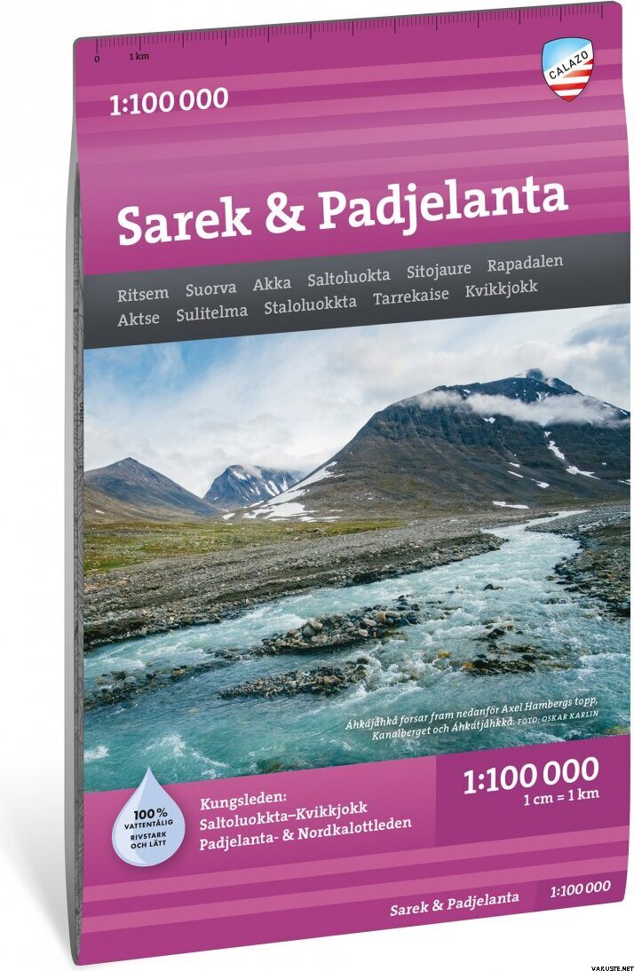
Calazo Sarek & Padjelanta 1:100 000
Approximately 14 - 30 day(s) from the order, at the earliest 27.2.2026.
Detailed availability
Notify me when this product is in stock again
Reviews
| Overall rating | (17 reviews) |
Product description
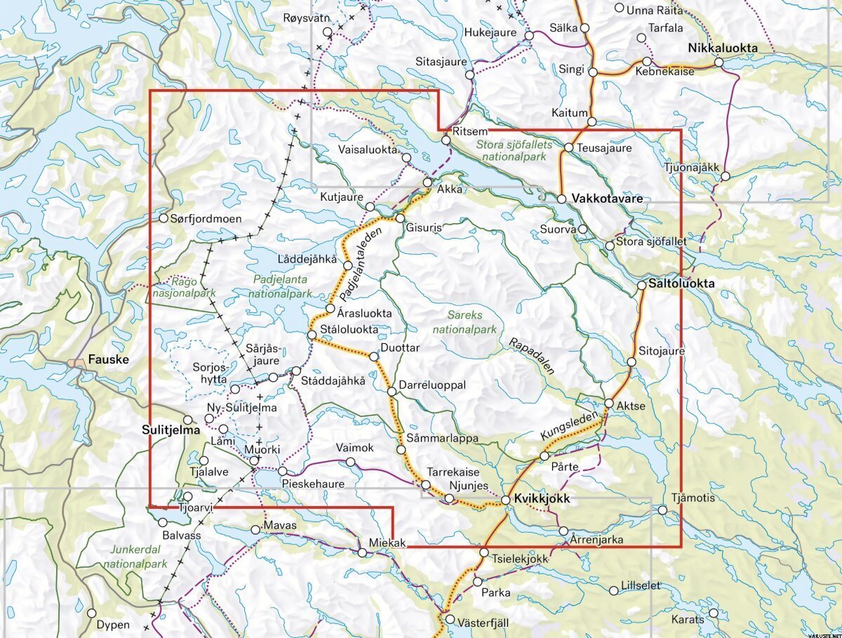
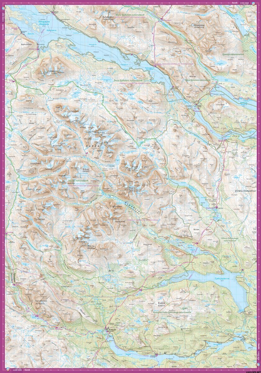
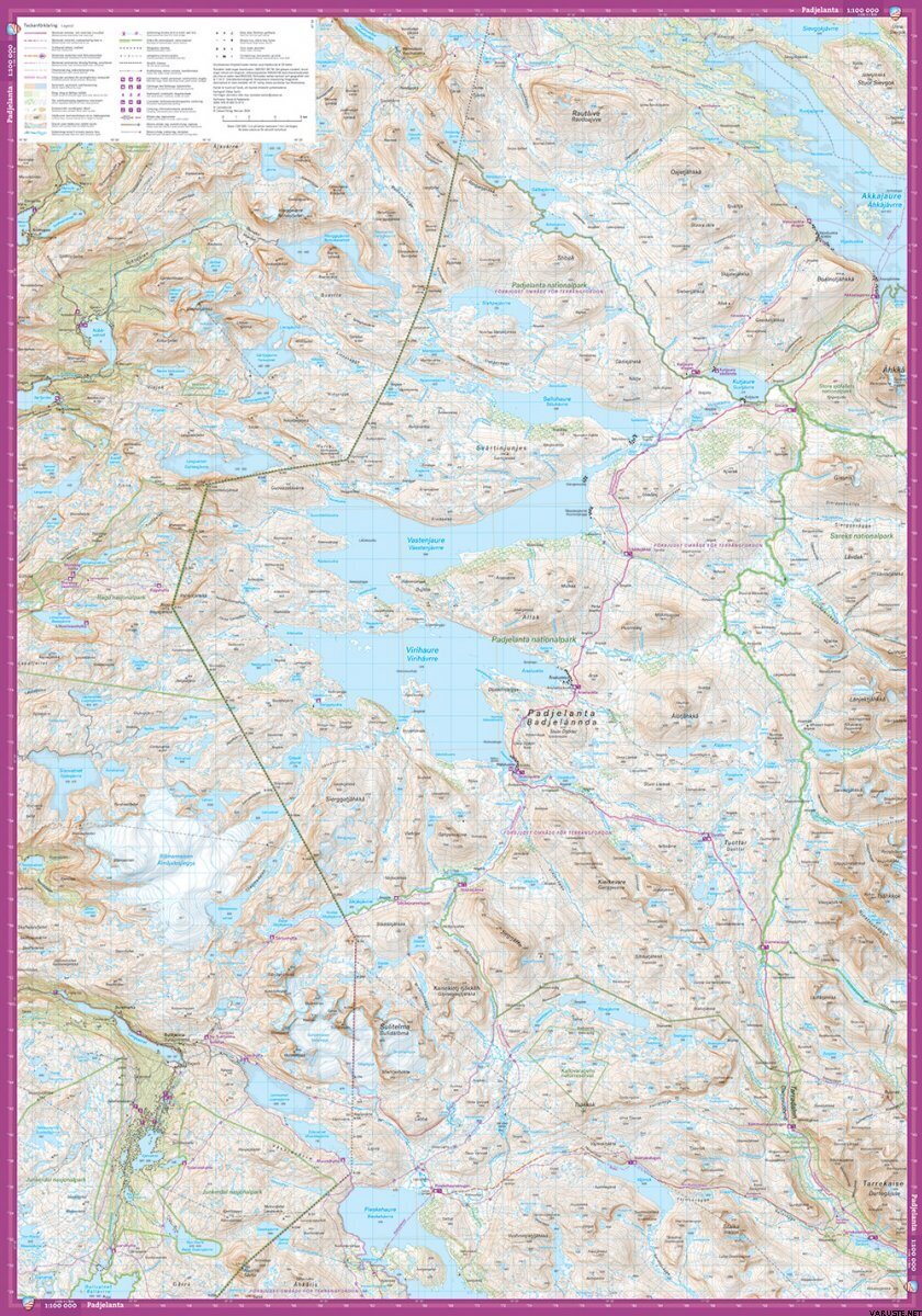
This map covers Sweden's two largest national parks, Padjelanta and Sarek, extending from Ritsem in the north to Kvikkjokk in the south. It includes the route of the King's Trail between Saltoluokta and Kvikkjokk, as well as the entire Padjelanta Trail.
Calazo's ten map sheets at a scale of 1:100,000 cover the entire Swedish mountain range, from Sälenfjällen to Treriksröset. Each map sheet displays a large area, providing an excellent overview for planning at home around the kitchen table—ideal for those embarking on longer trips or crossing vast areas by snowmobile. The content is, for obvious reasons, more generalized compared to the detailed 1:50,000 scale mountain maps or 1:25,000 scale high mountain maps.
The maps are printed on Tyvek, a material that is completely water-resistant and incredibly durable.
Technical Features
Scale: 1:100 000
ISBN: 9789189880092
Materials
Tyvek
Waterproof
Yes
Weight
0,05 kg(The product may have a light retail packaging.)
Isbn
9789189880092
Country of origin
Comments
| Overall rating | ☆☆☆☆☆ |
 — Show original
| Overall rating |
1:50000 would be more convenient, but the maps are of a very good quality
Brand
Products that have often been purchased with this product
(11,90 €, VAT 0)
(11,90 €, VAT 0)
(11,90 €, VAT 0)

