Oletko Viranomainen? Meiltä 10% Viranomais­alennus lähes kaikkiin tuotteisiin - Katso ohjeet »
Deportes‪» Actividades en aire libre‪» Electrónica‪» Dispositivos GPS‪» Hiking GPS‪»

Garmin GPSMAP 66i and TopoActive Europe

Garmin GPSMAP 66i and TopoActive Europe

Garmin GPSMAP 66i and TopoActive Europe

Precio promocional
587,33 incl. IVA 25.5% (467.99 €, IVA 0) + gastos de envío
La oferta termina en
Precio normal 649,00 €


Cantidad
uds


Tienda (Helsinki)en el estante0 uds
Disponible en tienda online0 uds

Código del producto
010-02088-02
Código de barras
753759218744

Ver también
Mapas
National Land Survey Of Finland: Electronic Map of Finland in microSD
+25,00 €


La máxima cantidad de este producto es la cantidad que se encuentra disponible en el almacén.
Disponibilidad
Aproximadamente 3 - 15 día(s) desde el pedido. La fiabilidad de la estimación es bastante bueno.

Disponibilidad
Notifíquenme cuando este producto esté disponible


Opiniones
Valoración general ()


Descripción
Rugged GPS handheld and inReach satellite communicator with Garmin TopoActive Europe mapping.
  • Large 3" sunlight-readable colour display for easy viewing
  • Trigger an interactive SOS to the GEOS 24/7 search and rescue monitoring center; two-way messaging via the 100% global Iridium® satellite network (satellite subscription required)
  • Preloaded Garmin TopoActive Europe mapping with direct-to-device BirdsEye Satellite Imagery downloads (no annual subscription); includes multiple Global Navigation Satellite Systems (GNSS) support and navigation sensors
  • Cellular connectivity lets you access Active Weather forecasts and Geocaching Live
  • Compatible with the Garmin Explore™ website and app to help you manage waypoints, routes, activities and collections, use tracks and review trip data from the field
  • Internal, rechargeable lithium battery provides up to 35 hours of battery life in 10-minute tracking mode; 200 hours in Expedition mode with 30-minute tracking intervals
The sturdy, button-operated GPSMAP 66i features a large 3" colour display you can see even in bright sunlight. If you're out in the field for long stretches of time, you can turn on Expedition mode and get up to 200 hours of battery life while using inReach technology. In the default tracking mode, you get up to 35 hours of battery life, and your device will save your location every 10 minutes.

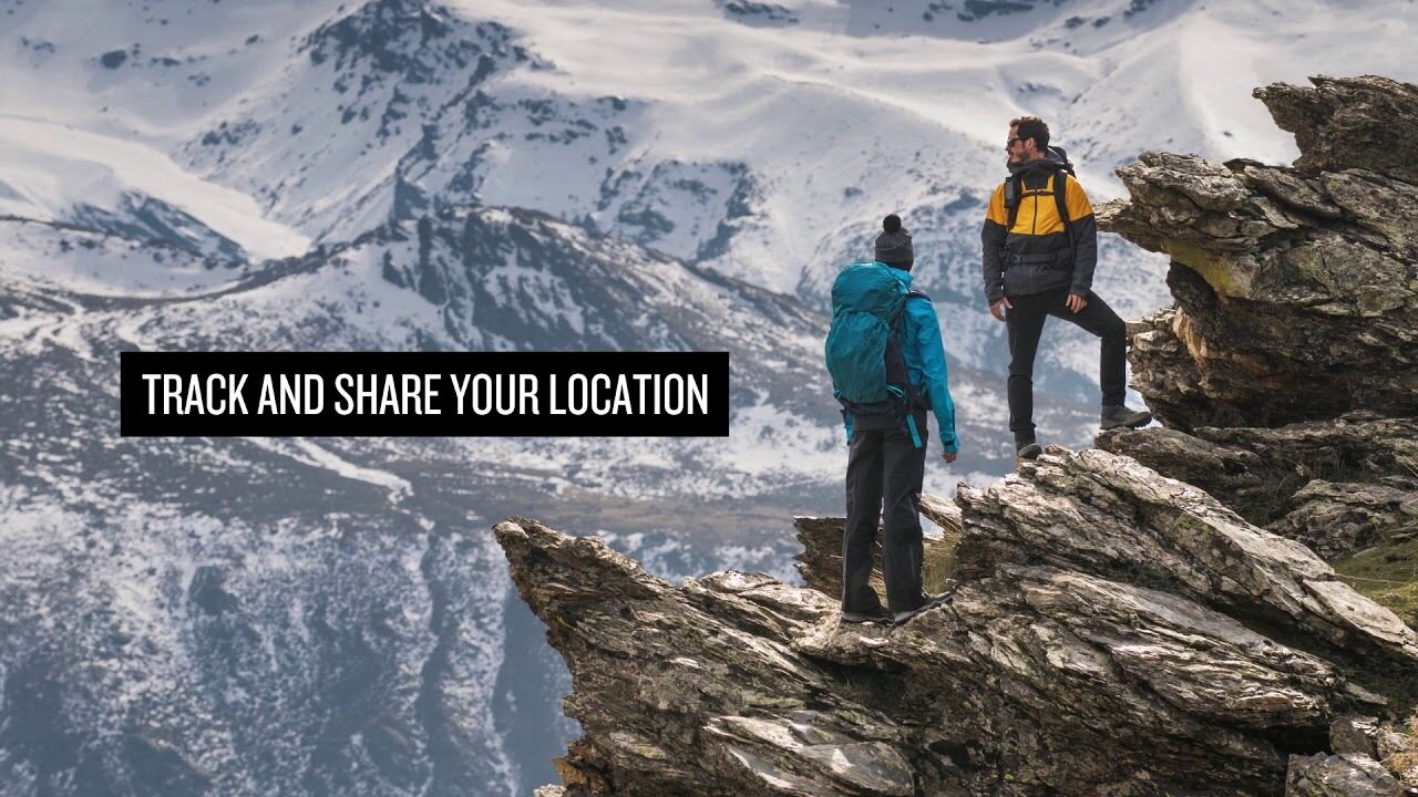
Staying in touch is vital, even on less challenging trips. Using inReach technology (subscription required), this handheld lets you trigger an SOS to the GEOS 24/7 emergency response team for interactive support in an emergency. It also enables two-way messaging and LiveTrack location sharing via the 100% global Iridium satellite network, so you can stay in contact with loved ones, teammates, headquarters and more.

GPSMAP 66i is fitted with the best in Garmin navigation. Preloaded Garmin TopoActive Europe mapping provides detailed views of topographic elevations, summits, parks, coastlines, rivers, lakes and geographical points. Direct-to-device downloads of BirdsEye Satellite Imagery provide high-resolution photo-realistic views of your route, trailheads, clearings and more — without an annual subscription. Support for multi-GNSS combined with altimeter, barometer and compass navigation sensors lets you track and navigate in challenging environments.

Wireless cellular connectivity lets you access Active Weather for up-to-date forecasts, including predictive maps for temperature, wind, precipitation and clouds — right on the handheld when connected to Garmin Connect Mobile.

The free Garmin Explore mobile app lets you plan, review and sync data, including waypoints, routes, activities and collections. Review completed activities while still in the field, even when you're off the grid. The app also lets you sync your GPSMAP 66i with your compatible mobile device so you can access unlimited maps, aerial imagery and U.S. NOAA charts. You can even use all of the inReach features on your paired mobile device. For easier messaging, you can access your phone's contact list from the Garmin Explore app to connect with fewer keystrokes. Plan for future trips and review previous activities from the Garmin Explore website.

Physical dimensions 6.6 x 16.3 x 3.5 cm
Display size 3.8 x 6.3 cm; 3" diag (7.6 cm)
Display resolution 240 x 400 pixels
Display type Transflective colour TFT
Weight 241 g
Battery Rechargeable lithium-ion
Battery life Up to 35 hours at 10-minute tracking; up to 200 hours at 30-minute tracking (power save mode)
Water rating IPX7
Memory/history 16GB
High-sensitivity receiver
Interface High-speed USB and NMEA 0183 compatible

Maps & memory

Preloaded maps Yes (topographic)
Ability to add maps
Basemap
Storage and power capacity microSD™ card (not included)
Waypoints/favourites/locations 10,000
Routes 250
Track log 20,000 points, 250 saved gpx tracks, 300 saved fit archives

Sensors

Barometric altimeter
Compass Yes (tilt-compensated 3-axis)

In the box:
  • GPSMAP 66i
  • Access to Birdseye Satellite Imagery
  • Charging/data cable
  • Carabiner clip
  • Documentation

Las dimensiones aproximadas del producto empacado o el paquete del producto son 60 x 180 x 160 mm.


Altímetro barométrico


Apta para geocaching


Battery life max (h)
200


Comunicación por satélite


IP Classification
IPX7


Resolución de pantalla
240 x 400


Screen size (inches)
3,0


Peso
0,48 kg


Garantía
24 mes(es)


País de origen
Taiwan


Comentarios
juk...@...om comprador verificado, 19.12.2022
Valoración general
Traducido por GoogleMostrar original
Cinco estrellas para el navegante. Uno de los mapas de terreno de Finlandia se queda fuera del paquete, que no tiene ningún valor para mí porque el enrutamiento no funciona.

Anónimo comprador verificado, 9.8.2022
Valoración general
Traducido por GoogleMostrar original
El uso requiere un poco de práctica, porque hay muchas características. En el modo de ahorro de energía, la batería dura muy bien. Calidad Garmin garantizada.
sam...@...om comprador verificado, 23.7.2021
Valoración general
Traducido por GoogleMostrar original
Robusto, confiable y "teclado" disponible con guantes en la mano. Justo lo que encontré yo mismo. Por primera vez ya goteaba y gruñía sin ningún daño.
pekka U. comprador verificado, 12.4.2021
Valoración general
Traducido por GoogleMostrar original
El uso aún está en su infancia y después de GPSMAP64s hay muchas diferencias en la funcionalidad que deben explorarse y encontrar nuevos modelos operativos. Obtener un informe meteorológico en medio de la naturaleza fue una característica realmente buena.
Anónimo comprador verificado, 29.3.2021
Valoración general
Traducido por GoogleMostrar original
Calidad Garmin garantizada. Buenos mapas claros, buena pantalla y bastante fácil de usar. La conexión por satélite funciona en todas partes y la ubicación se puede compartir fácilmente. Duración de la batería demasiado corta. El dispositivo debe cargarse todos los días y el orificio de carga está en la cubierta posterior, por lo que tampoco es fácil cargarlo en el bolsillo. Para caminatas largas, el modelo Explorer sería la elección correcta.
jan w. comprador verificado, 10.3.2021
Valoración general
Traducido por GoogleMostrar original
Buen dispositivo, las funciones básicas funcionan. Con las rutas hechas por ti mismo, ten cuidado de no forzar a la brújula a aparecer en un waypoint que ya se ha pasado desde la distancia, sino al siguiente. No más conexión al teléfono. No se pueden eliminar del dispositivo mensajes al alcance y los contactos no se pueden actualizar.
Teemu K. comprador verificado, 11.7.2020
Valoración general
Traducido por GoogleMostrar original
Este es el modelo que ya se puede utilizar en Finlandia y Europa. Agradable en lugares donde el celular no funciona y asegura que el hogar reciba información sobre el alojamiento y el bienestar. Se pueden observar muchas características y la descarga de la batería que es suficiente para un lugar estrecho.
Pasi P. comprador verificado, 11.6.2020
Valoración general
Traducido por GoogleMostrar original
Este es absolutamente el dispositivo definitivo cuando se camina solo en áreas silvestres. Hace lo que promete. Fue agradable poner un mensaje en casa y también recibir mensajes de fuera de las redes celulares. Al final del viaje de la semana, todavía quedaba entre un 30% y un 40% en la batería, a pesar de que la supervisión estuvo activa durante todo el viaje.
Lasse L. comprador verificado, 7.1.2020
Valoración general
Traducido por GoogleMostrar original
Solo se usa durante algunas semanas. Un dispositivo robusto que ha cumplido las expectativas. El uso del teléfono y la computadora en diversas funciones aún se encuentra en la fase de aprendizaje y prueba. Estas instrucciones de funcionamiento de mayor calidad serían útiles.
Jani H. comprador verificado, 4.1.2020
Valoración general
Traducido por GoogleMostrar original
Muy buen juego. Excelentes características.
Mostrar todo (12) Añadir comentario

Marca


GPSMAP 66i: Premium GPS Handheld and Satellite Communicator

Productos usualmente pedidos con este producto:


Blog

Hanki esiladattu kartta-aineisto mukaan muistikorttipaikkaisiin Garmin-laitteisiin

Myymme muistikorttipaikkaisiin Garmin GPS-laitteisiin microSD-korttia, johon on esiladattu Maanmittauslaitoksen kartta-aineiston pohjalta laadittu maastokartta (Tekijä on Teemu Peltonen. Lisensoitu Creative Commons Nimeä-Ei muutoksia-Epäkaupallinen 4.0 Muokkaamaton -lisenssillä.)...


Benefits and Uses of Garmin inReach Devices

Garmin inReach devices provide safety and connect you with your loved ones, no matter what adventure you embark on The best adventures are often experienced far from civilization. Whether climbing mountain slopes, hiking deep in the forest, or paddling on the sea, you can enjoy t...