Oletko Viranomainen? Meiltä 10% Viranomais­alennus lähes kaikkiin tuotteisiin - Katso ohjeet »
Sport‪» Attività all'aperto‪» Elettronica‪» GPS‪» Hiking GPS‪»

Garmin GPSMAP 66i and TopoActive Europe

Garmin GPSMAP 66i and TopoActive Europe

Garmin GPSMAP 66i and TopoActive Europe

Prezzo campagna
580,07 IVA inclusa 25.5% (462.21 €, IVA 0) + costi di consegna
L'offerta è valida ancora per
Prezzo normale 649,00 €


Quantità
pz


Negozio (Helsinki)sullo scaffale0 pz
Disponibile subito su negozio online0 pz

Codice dell'ordine
010-02088-02
Codice a barre
753759218744

Guarda anche
Mappe
National Land Survey Of Finland: Electronic Map of Finland in microSD
+25,00 €


Di questo prodotto non è possibile ordinare un numero superiore che disponiamo nel magazzino.
Disponibilità
Approssimativamente 3 - 15 giorno/giorni dall'ordine. L'affidabilità della stima è abbastanza buono.

Disponibilità
Avvisatemi quando questo prodotto è disponibile


Recensioni
Valutazione generale ()


Descrizione del prodotto
Rugged GPS handheld and inReach satellite communicator with Garmin TopoActive Europe mapping.
  • Large 3" sunlight-readable colour display for easy viewing
  • Trigger an interactive SOS to the GEOS 24/7 search and rescue monitoring center; two-way messaging via the 100% global Iridium® satellite network (satellite subscription required)
  • Preloaded Garmin TopoActive Europe mapping with direct-to-device BirdsEye Satellite Imagery downloads (no annual subscription); includes multiple Global Navigation Satellite Systems (GNSS) support and navigation sensors
  • Cellular connectivity lets you access Active Weather forecasts and Geocaching Live
  • Compatible with the Garmin Explore™ website and app to help you manage waypoints, routes, activities and collections, use tracks and review trip data from the field
  • Internal, rechargeable lithium battery provides up to 35 hours of battery life in 10-minute tracking mode; 200 hours in Expedition mode with 30-minute tracking intervals
The sturdy, button-operated GPSMAP 66i features a large 3" colour display you can see even in bright sunlight. If you're out in the field for long stretches of time, you can turn on Expedition mode and get up to 200 hours of battery life while using inReach technology. In the default tracking mode, you get up to 35 hours of battery life, and your device will save your location every 10 minutes.

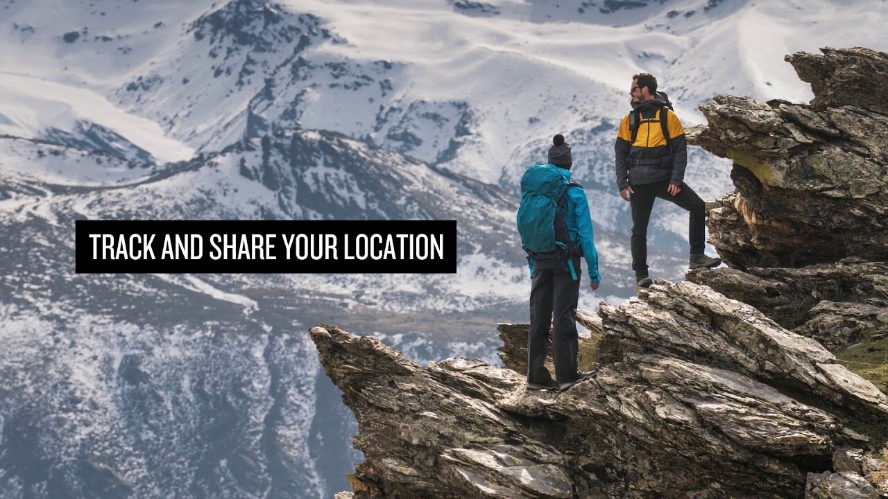
Staying in touch is vital, even on less challenging trips. Using inReach technology (subscription required), this handheld lets you trigger an SOS to the GEOS 24/7 emergency response team for interactive support in an emergency. It also enables two-way messaging and LiveTrack location sharing via the 100% global Iridium satellite network, so you can stay in contact with loved ones, teammates, headquarters and more.

GPSMAP 66i is fitted with the best in Garmin navigation. Preloaded Garmin TopoActive Europe mapping provides detailed views of topographic elevations, summits, parks, coastlines, rivers, lakes and geographical points. Direct-to-device downloads of BirdsEye Satellite Imagery provide high-resolution photo-realistic views of your route, trailheads, clearings and more — without an annual subscription. Support for multi-GNSS combined with altimeter, barometer and compass navigation sensors lets you track and navigate in challenging environments.

Wireless cellular connectivity lets you access Active Weather for up-to-date forecasts, including predictive maps for temperature, wind, precipitation and clouds — right on the handheld when connected to Garmin Connect Mobile.

The free Garmin Explore mobile app lets you plan, review and sync data, including waypoints, routes, activities and collections. Review completed activities while still in the field, even when you're off the grid. The app also lets you sync your GPSMAP 66i with your compatible mobile device so you can access unlimited maps, aerial imagery and U.S. NOAA charts. You can even use all of the inReach features on your paired mobile device. For easier messaging, you can access your phone's contact list from the Garmin Explore app to connect with fewer keystrokes. Plan for future trips and review previous activities from the Garmin Explore website.

Physical dimensions 6.6 x 16.3 x 3.5 cm
Display size 3.8 x 6.3 cm; 3" diag (7.6 cm)
Display resolution 240 x 400 pixels
Display type Transflective colour TFT
Weight 241 g
Battery Rechargeable lithium-ion
Battery life Up to 35 hours at 10-minute tracking; up to 200 hours at 30-minute tracking (power save mode)
Water rating IPX7
Memory/history 16GB
High-sensitivity receiver
Interface High-speed USB and NMEA 0183 compatible

Maps & memory

Preloaded maps Yes (topographic)
Ability to add maps
Basemap
Storage and power capacity microSD™ card (not included)
Waypoints/favourites/locations 10,000
Routes 250
Track log 20,000 points, 250 saved gpx tracks, 300 saved fit archives

Sensors

Barometric altimeter
Compass Yes (tilt-compensated 3-axis)

In the box:
  • GPSMAP 66i
  • Access to Birdseye Satellite Imagery
  • Charging/data cable
  • Carabiner clip
  • Documentation

La dimensione approssimativa dell'imballo o le dimensioni della confezione del prodotto sono 60 x 180 x 160 mm.


Adatto per il geocaching
Si


Altimetro barometrico
Si


Battery life max (h)
200


Comunicazione satellitare
Si


IP Classification
IPX7


Risoluzione dello schermo
240 x 400


Screen size (inches)
3,0


Peso
0,48 kg


Garanzia
24 al mese


Paese di origine
Taiwan


Commenti
juk...@...om acquirente confermato, 19.12.2022
Valutazione generale
Tradotto da GoogleMostra originale
Cinque stelle per il navigatore. Una delle mappe del terreno della Finlandia è rimasta fuori dal pacchetto, il che non ha alcun valore per me perché il percorso non funziona.

Anonimo acquirente confermato, 9.8.2022
Valutazione generale
Tradotto da GoogleMostra originale
L'uso richiede un po' di pratica, perché ci sono molte funzionalità. In modalità di risparmio energetico, la batteria dura davvero bene. Qualità Garmin garantita.
sam...@...om acquirente confermato, 23.7.2021
Valutazione generale
Tradotto da GoogleMostra originale
Robusto, affidabile e "tastiera" disponibile con i guanti in mano. Proprio quello che mi sono trovato. Per la prima volta già gocciolava e grugniva senza alcun danno.
pekka U. acquirente confermato, 12.4.2021
Valutazione generale
Tradotto da GoogleMostra originale
L'utilizzo è ancora agli inizi e dopo GPSMAP64 ci sono molte differenze nelle funzionalità che devono essere esplorate e nuovi modelli operativi trovati. La raccolta di un bollettino meteorologico in mezzo alla natura selvaggia era davvero una buona caratteristica.
Anonimo acquirente confermato, 29.3.2021
Valutazione generale
Tradotto da GoogleMostra originale
Qualità Garmin assicurata. Buone mappe chiare, buon schermo e abbastanza facile da usare. La connessione satellitare funziona ovunque e la posizione può essere facilmente condivisa. La durata della batteria è troppo breve. Il dispositivo dovrebbe essere ricaricato ogni giorno e il foro di ricarica si trova nella cover posteriore, quindi ricaricare in tasca non è facile. Per lunghe passeggiate, il modello Explorer sarebbe la scelta giusta.
jan w. acquirente confermato, 10.3.2021
Valutazione generale
Tradotto da GoogleMostra originale
Buon dispositivo, le funzionalità di base funzionano. Con le rotte autocostruite, fare attenzione a non forzare la visualizzazione della bussola in un waypoint che è già stato superato da lontano, ma a quello successivo. Non più connettersi al telefono. Nessun messaggio in arrivo può essere rimosso dal dispositivo e i contatti non possono essere aggiornati.
Teemu K. acquirente confermato, 11.7.2020
Valutazione generale
Tradotto da GoogleMostra originale
Questo è il modello che può essere già utilizzato in Finlandia e in Europa. Bello nei luoghi in cui il telefono cellulare non funziona e garantisce che la casa riceva informazioni sull'alloggio e sul benessere. Si possono osservare molte caratteristiche e la scarica della batteria che è sufficiente per un luogo stretto.
Pasi P. acquirente confermato, 11.6.2020
Valutazione generale
Tradotto da GoogleMostra originale
Questo è assolutamente il dispositivo definitivo per l'escursionismo solo nelle aree selvagge. Fa quello che promette. È stato bello mettere un messaggio a casa e ricevere messaggi anche dall'esterno delle reti cellulari. Alla fine del viaggio della settimana, la batteria era ancora del 30-40%, anche se il monitoraggio era attivo per tutto il viaggio.
Lasse L. acquirente confermato, 7.1.2020
Valutazione generale
Tradotto da GoogleMostra originale
Usato solo per poche settimane. Un dispositivo dall'aspetto robusto che ha soddisfatto le aspettative. L'utilizzo del telefono e del computer in varie funzioni è ancora in fase di apprendimento e test. Queste istruzioni operative di qualità superiore sarebbero utili.
Jani H. acquirente confermato, 4.1.2020
Valutazione generale
Tradotto da GoogleMostra originale
Ottimo gioco. Caratteristiche eccellenti.
Visualizza tutto (12) Aggiungi commento

Marca


GPSMAP 66i: Premium GPS Handheld and Satellite Communicator

Prodotti che sono stati acquistati spesso insieme:


Blog

Hanki esiladattu kartta-aineisto mukaan muistikorttipaikkaisiin Garmin-laitteisiin

Myymme muistikorttipaikkaisiin Garmin GPS-laitteisiin microSD-korttia, johon on esiladattu Maanmittauslaitoksen kartta-aineiston pohjalta laadittu maastokartta (Tekijä on Teemu Peltonen. Lisensoitu Creative Commons Nimeä-Ei muutoksia-Epäkaupallinen 4.0 Muokkaamaton -lisenssillä.)...


Benefits and Uses of Garmin inReach Devices

Garmin inReach devices provide safety and connect you with your loved ones, no matter what adventure you embark on The best adventures are often experienced far from civilization. Whether climbing mountain slopes, hiking deep in the forest, or paddling on the sea, you can enjoy t...