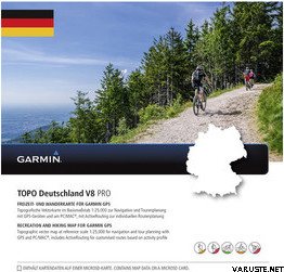
Let Garmin guide you on all of your recreational and outdoor adventures in Germany, from the shores of the North Sea up to the summits of the Alps.
- Provides accurate topographic maps in reference scale of 1:25,000.
- Offers an enhanced recreational trail network, including detailed hiking trails for touristic regions and long-distance hiking trails (national level).
- Displays new and helpful touristic data and route information, including an additional 350,000-plus km of the touristic cycling route network from the Germany Cycling Club (ADFC) and the quality hiking trails from the German Hiking Club (DWV).
- Offers ActiveRouting¹, allowing you to customize and specifically plan routes for the entire road and trail network. The activity-specific map displays highlights of suggested routes in addition to dedicated biking and hiking routes.
- Includes searchable street names (with number accuracy).
- Features Digital Elevation Model (DEM) with dense contour intervals of 20 m equidistance for route profile planning and post-trip service.
¹ActiveRouting supported by BaseCamp™ on Windows®/Mac® and Montana®, Monterra™, Edge® 810/1000, GPSMAP® 62/64 and Oregon® 6xx/x50 series devices.