
Garmin
191 prekių



| Bendras įvertinimas | (1 atsiliepimas) |
 — Rodyti originalą
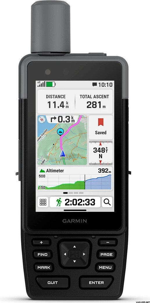
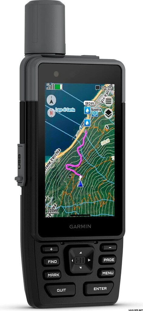
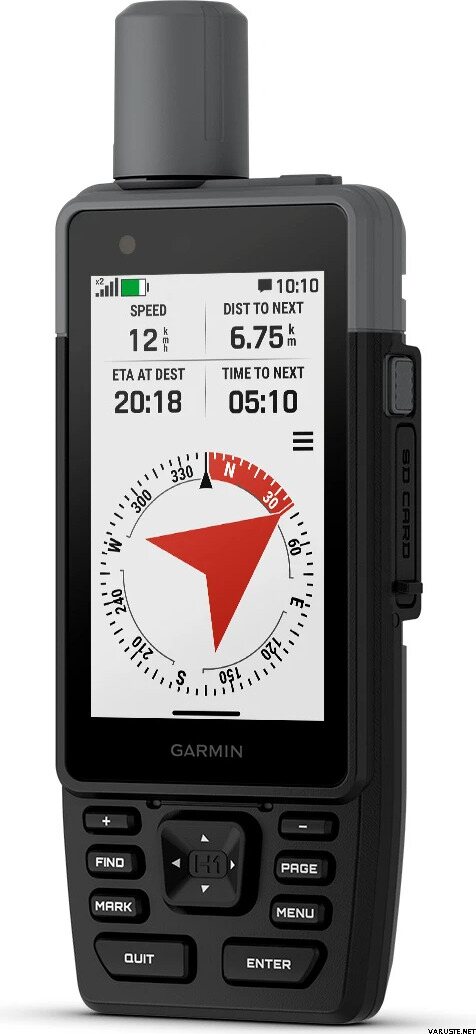
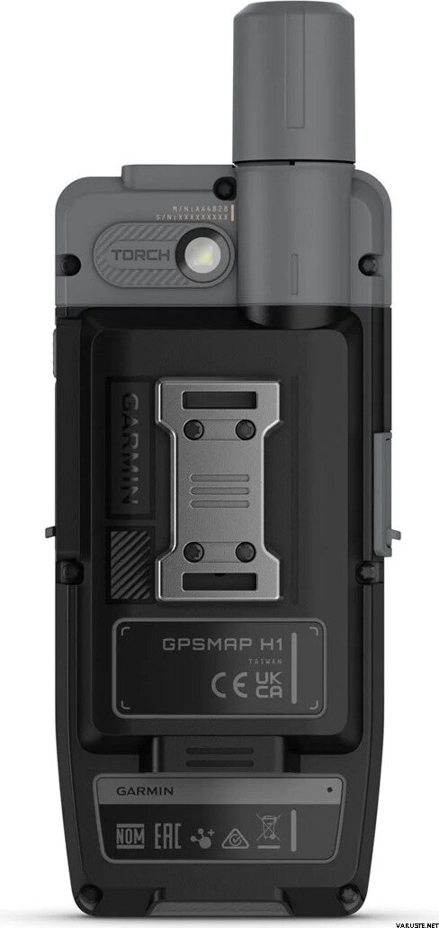
„Garmin GPSMAP H1“ – tai tvirtas ir modernus nešiojamas GPS įrenginys, skirtas nuotykių ieškotojams. Su iš anksto įkeltais žemėlapiais ir įspūdingu baterijos veikimo laiku jis puikiai tinka tyrinėti takus. Įrenginys turi 3,5 colio spalvotą jutiklinį ekraną ir fizinius mygtukus, užtikrinančius paprastą naudojimą įvairiomis sąlygomis. Jis palaiko kelias GNSS sistemas, skirtas tiksliam vietos nustatymui, ir yra sukurtas atlaikyti ekstremalias temperatūras ir vandens poveikį.
Techninės savybės
Patvarumas: IP67 apsauga, MIL-STD-810 (temperatūra, smūgiai, vanduo)
Baterija: vidinė įkraunama ličio jonų baterija; iki 145 valandų („SatIQ“, daugiajuostis), energijos taupymo režimu iki 840 valandų
Palydovų palaikymas: GPS, Galileo, BeiDou, QZSS, IRNSS; daugiajuostis dažnis; jautrus imtuvas
Jutikliai: barometrinis aukštimatis, 3 ašių kompasas su posvyrio kompensacija, GPS kompasas
Ekranas: 3,5 colio permatomas spalvotas jutiklinis ekranas, 282 x 470 pikselių (įskaitomas saulės šviesoje)
Atmintis: 64 GB vidinė (dalis skirta žemėlapiams), „microSD“ iki 1 TB
Žemėlapiai: iš anksto įkeltas ir bazinis žemėlapis; palaikomi papildomi žemėlapiai; iki 15 000 žemėlapio segmentų
Oro vaizdai: „BirdsEye“ palydoviniai vaizdai tiesiai į įrenginį
Reljefo ir lankytinų vietų duomenys: vandens telkiniai, parkai, stovyklavietės ir kitos ieškomos vietos
Navigacija: Nuo taško iki taško, posūkis po posūkio, „TracBack“, ploto skaičiavimas
Maršruto apribojimas: Motorinėms transporto priemonėms maršrutas posūkis po posūkio draudžiamas
Saugojimas ir maršrutai: neriboti maršrutai ir veiklos, kelio taškai, veiklos profiliai, GPX importavimas, RINEX registravimas
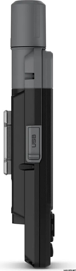
Jungtys: „Wi-Fi“, „Bluetooth“, ANT+ ir USB-C
Išmaniosios funkcijos: „Connect IQ“ turinys, išmanieji pranešimai, „Garmin Connect Mobile“, „Garmin Share“, slaptažodžio nustatymas
Saugumas: „LiveTrack“ ir saugos sirena; LED žibintuvėlis
„inReach“ suderinamumas: nėra vidinės pagalbos iškvietimo ar pranešimų funkcijos, bet veikia su „inReach“ įrenginiais (nuotolinis valdiklis)
Programėlių suderinamumas: „Garmin Explore“ programėlė ir žiniatinklio paslauga
Specialios savybės: šunų sekimas (su suderinama sistema), suderinamumas su AB Synapse, balistinis skaičiuotuvas (reikalingas aktyvavimas), dviejų tinklelių koordinatės, naktinio matymo režimas
Svoris
276 g (9,7 uncijos)
Matmenys
6,7 x 17,9 x 3,3 cm (2,6 x 7 x 1,3 colio)
 Taivanas
| Bendras įvertinimas | ☆☆☆☆☆ |
— Rodyti originalą