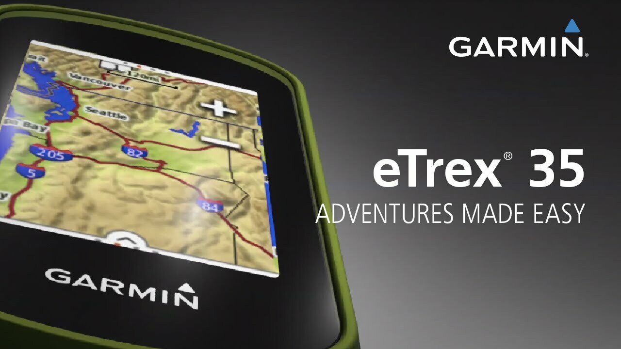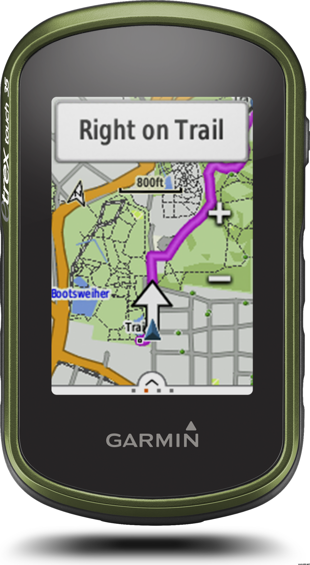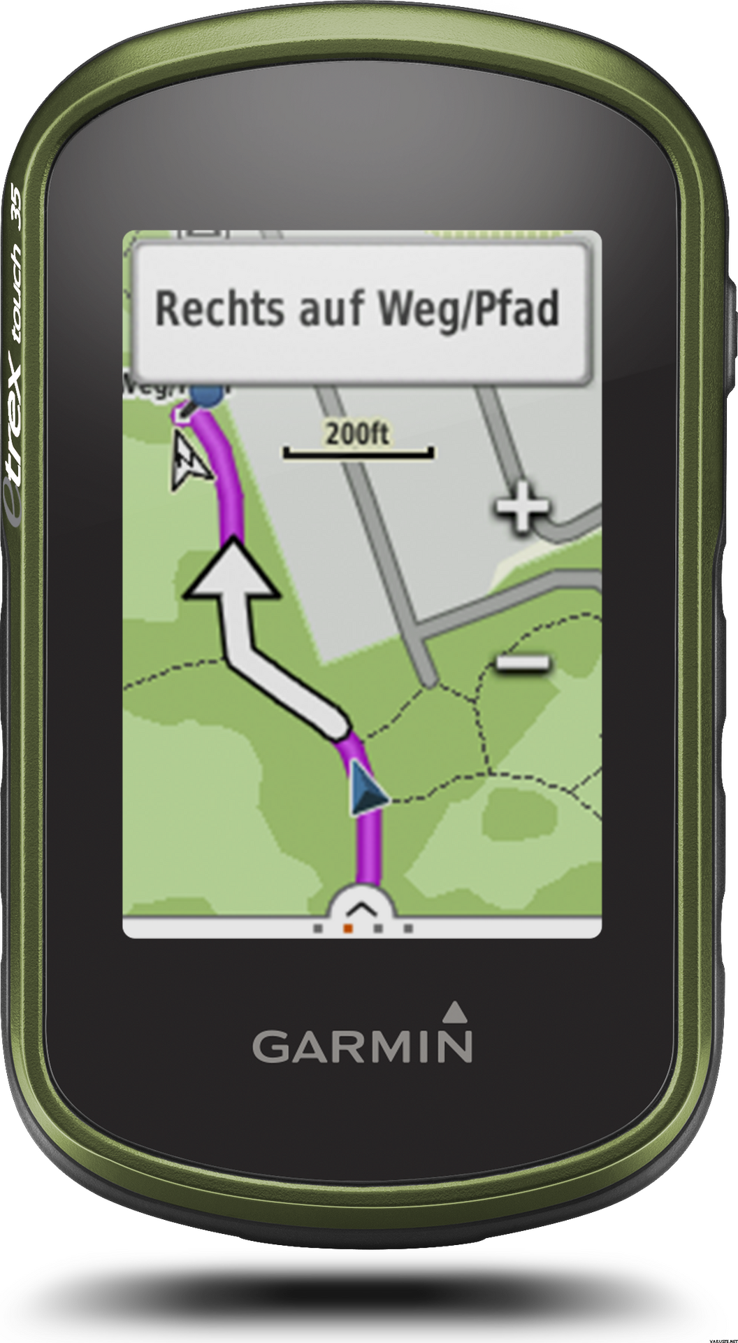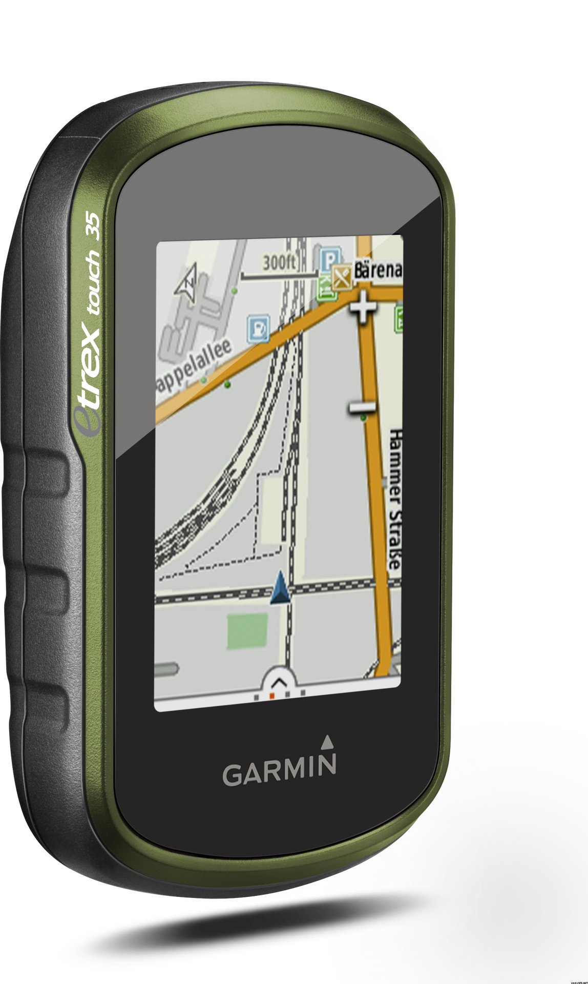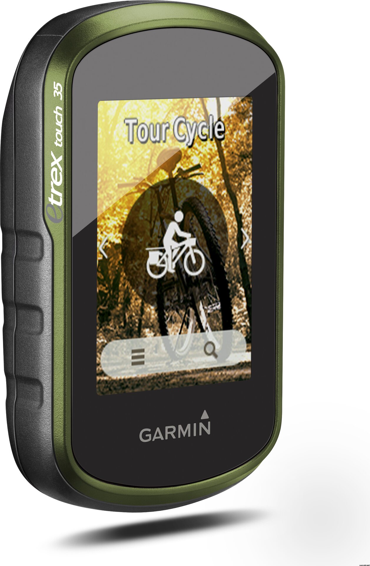
Garmin ETrex Touch 35, Western Europe
The product is temporarily out of stock.
库存具体情况
当该产品再次有货时,请通知我。
评论
| 一般评价 | (13 评价) |
商品描述
eTrex Touch 35 is the new family navigator for outdoor activities and alpine adventures, ideal for everyone that likes to dip their toes into the great outdoors - from casual cyclists and hikers to geocaching newbies and hillwalkers.
eTrex has been the world’s most popular and successful recreational GPS series for the past 15 years. eTrex Touch 35 is its newest member, that is now easier and more convenient to use than ever. With additional altimeter, it also supports alpine activities like mountaineering and mountain biking. It comes with preinstalled TopoActive Europe maps and optimised Activity Profiles for various recreational activities, not forgetting 250,000 geocaches for endless fun outdoors. With smart notifications straight to your device from your smartphone1, you can stay connected when you’re on the go. To make it even easier to get going, a cycling mount is included in the box. Get out there and have fun with the family. eTrex will guide you every step of the way.
Garmin family navigator that’s easy and fun to use, with touchscreen, altimeter and preloaded TopoActive Europe maps
- Optimised for multiple activities – just select and go!
- Preloaded with Garmin TopoActive Europe maps
- Cycling mount included
- Bright 2.6’’ colour capacitive touchscreen
- Barometric altimeter and 3-axis tilt-compensated compass
- Download recreational tracks and routes to follow
- Paperless geocaching with 250k preloaded caches
- ANT+ sensor support and Smartphone Notifications
Find your way the easy way
eTrex Touch works like an in-car sat nav, but with maps and features specifically designed for navigation during recreational activities like cycling and hiking. Whether you have a specific destination in mind, or you just want to record your activities to share later on, eTrex Touch gives you the freedom to explore with confidence. You can even find and download activities others have completed on Garmin Connect and Garmin Adventures, or share your own with the community.
With an easy to use touchscreen, the kids will be able to have a go too. Just touch and go, as the moment takes you! The Activity Profiles give you immediate access to customised profiles like hiking, cycling and geocaching, so you’re all set up for your chosen activity, with everything you need at your fingertips. You can focus on enjoying the great outdoors, and having a great time with your family – knowing you’re in safe hands.
All ready and set to ride
eTrex Touch holds no one back, it’s everything you need to get out there and experience the outdoors at every opportunity. Not only is it designed to enhance whatever activity you fancy that day but it comes fully prepared for you to take it straight out the box and get going.
With a cycling mount included, the eTrex Touch is particularly appealing to recreational cyclists, who can easily fix the device to their handlebars.
The device comes preloaded with Garmin TopoActive Europe maps for 46 countries - just switch the device on, connect to GPS and start navigation. And the maps can be updated at no additional cost. With a large 8 GB internal memory and a microSD slot, there’s plenty of room for additional mapping, whether you’d like to enhance it with advanced topo maps or marine maps.
Dive into geocaching
Experience the great outdoor GPS treasure hunt called geocaching. With the eTrex Touch, geocaching is convenient for everyone, with paperless geocache directions, ratings and recent logs saved directly on the device - no need to print anything.
eTrex Touch 35 comes with an electronic compass that shows you the direction to your destination even while you’re stood still - which helps a lot during short breaks on geocaching adventures.
For beginners, eTrex Touch holds 250,000 great geocaches suitable for those new to geocaching – to help you get used to the whole concept. All geocaches are from geocaching.com, the world’s largest geocaching platform.
Adventures unearthed and shared
Don’t have a specific destination or route in mind? Search for recommended adventures on Garmin Connect or Garmin Adventures, and see routes and geocaches that others have completed. Then download them to eTrex Touch ready for your next adventure. Or create and customise a completely new route to download to your device.
Want to save and re-live a recent adventure? eTrex Touch records where you’ve been so you can upload your routes to Garmin Connect or Garmin Adventures and relive them whenever you want. Garmin Connect and Garmin Adventures are free and allow you to share your recreational adventures with friends and family.
Rock solid eTrex quality
eTrex Touch is the latest product from the famous eTrex GPS handheld series. These products have been successfully deployed all over the earth, from the freezing poles to the heat of African deserts and the humid South American jungles. eTrex has mastered all terrains and the eTrex Touch offers that same toughness and endurance.
eTrex Touch supports GPS and GLONASS, giving you the power of two satellite systems, for faster fix and better accuracy in challenging environments. Let eTrex do all the hard work for you – just check your actual position and follow the guidance. eTrex 35 also adds a barometric altimeter to the mix, for safer navigation in alpine environments and accurate elevation data.
The device is fully ruggedised, IPX7 water-rated and has a scratch-resistant screen. The long 16 hour battery life and field-replaceable standard AA batteries guarantee flexibility when you’re on the go.
eTrex Touch also provides all of the classic eTrex features like hunting and fishing information, sport watch, sun and moon calendar, sunrise and sunset data and much more.
Compact and versatile companion
The handy device fits easily into a pocket or on a handlebar. It’s also designed to be a size that allows kids to easily handle it too. Using the spine mount mounting system, eTrex Touch can be mounted pretty much anywhere with specialised mounts for boats, cars, backpacks etc.
Stay connected
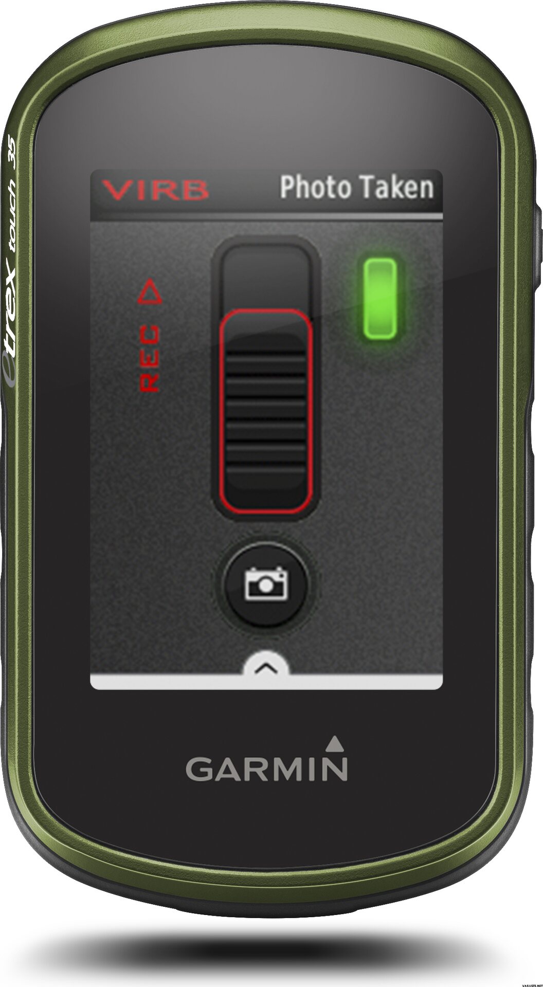
eTrex Touch 35 lets you share your waypoints, tracks, routes and geocaches wirelessly, through unit-to-unit sharing with compatible Garmin devices. With the smart notification feature, you’ll never miss a text, email or notification from your compatible smartphone*, unless you want to. You can also use your eTrex Touch 35 as a remote control for our VIRB® XE, VIRB X and VIRB Elite action cameras.
eTrex Touch 35 also supports Live Track which allows your friends and family to follow your activities in real time. Invite followers, via email or social media, to track your activity and location on Garmin Connect.
Physical & Performance
Physical dimensions5.8 x 10.2 x 3.3 cm
Display size, WxH3.6 x 5.5 cm
Display resolution, WxH160 x 240 pixels
Display type2.6" 65K colour TFT
Touchscreen
Weight159 g with batteries
Battery2 AA batteries (not included); NiMH or Lithium recommended
Battery lifeUp to 16 hours
Water ratingIPX7
High-sensitivity receiver
InterfaceUSB
Camera
No
Barometric altimeter
Electronic compass
Unit-to-unit transfer (shares data wirelessly with similar units)
Maps & Memory
Basemap
Preloaded maps
No
Ability to add maps
Built-in memory8 GB
Accepts data cardsmicroSD™ card (not included)
Custom POIs (ability to add additional points of interest)
Waypoints/favorites/locations4000
Routes200
Track log10,000 points, 200 saved tracks
Outdoor Features
Automatic routing (turn by turn routing on roads)Yes (with optional mapping for detailed roads)
Geocaching-friendlyYes (Paperless)
Custom maps compatible
Sun and moon information
Tide tablesYes (with optional Bluechart)
Area calculation
Picture viewer
Garmin Connect™
Garmin Connect™ compatible (online community where you analyze, categorize and share data)
Additional
Additional
Smart Notifications: Yes
Live Tracking: Yes (with Garmin Connect™ Mobile)
该产品只能通过以下方法交付:
- 到店提货
- 按约定时间送货上门 (Matkahuolto Kotijakelu)
- 按约定时间送货上门 (Posti Home Parcel)
- 从自提点取货 (Matkahuolto)
- 从自提点取货 Posti
- 从自提点取货 (PostNord)
- 从R-kioski或K-Market自提点取货 (DB Schenker)
- 挂号信件
- 欧标托盘, 在营业时间内
- 欧标托盘, 在约定时间
- 送货上门 (DB Schenker)
- 送货上门 (Matkahuolto Jakopaketti)
- 送货上门 (Posti)
- 送货上门 (Posti 上午)
- 推货车, 在营业时间内
- 推货车, 在约定时间
- 宅急送 (DHL Express Worldwide)
- 专用托盘
- Pickup from parcel locker (Posti)
- Pickup from parcel locker (PostNord)
- Posti freight to doorstep
屏幕分辨率
160 x 240
气压高度计
是的
Battery life max (h)
16
Satellite communication
不
Screen size (inches)
2,6
Suitable for geocaching
是的
重量
0.32 kg
(包含内包装重量 0.4 kg)
质保
24 个月
原产地
评价
 — 显示原文
| 一般评价 |
我购买该设备主要是为了寻宝,其次是为了骑自行车。我一直在寻找一款电池寿命长的小型触摸屏设备,我选择了这款设备。习惯菜单的导航逻辑需要一段时间,但必要的功能和设置开始在那里很好地找到。这是一个小设备,但你可以从屏幕和地图上充分了解它。我在将缓存加载到设备时遇到了一些麻烦(一次从计算机浏览器传输一个缓存到设备)。如果您拥有高级会员资格,使用 Geocaching 的 Pocket 查询可能会更容易。届时,只需将缓存坐标输入 Garmin 并在手机上浏览缓存说明就会变得更加频繁。在骑自行车时,Garmin 应该在导航和携带备用电源方面取代电话。随附的自行车架很好,即使有一个电缆扎带附件。导航功能不是最好的,至少对于城市运行而言。在购买 Garmin 之前,我喜欢用谷歌地图计划骑自行车去新的地区,然后将其传输到我的手机上。 Garmin 的 Base Camp 程序(在计算机上)中的路线规划或直接输入设备的路线规划并不是很容易,至少乍一看是这样。可能是因为这个原因,我更多的是坚持手机导航作为自行车跑步的帮手,虽然稍微努力和学习,即使是Garmin也能达到可以接受的水平。品牌
