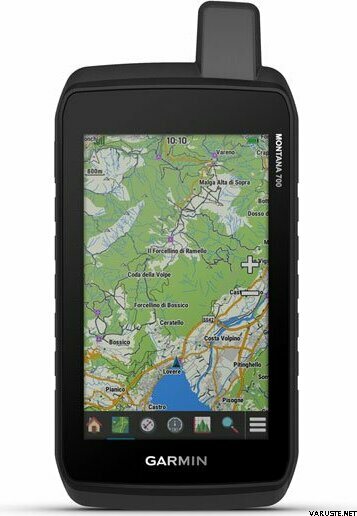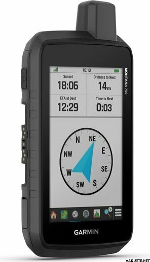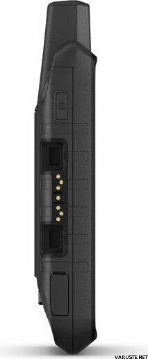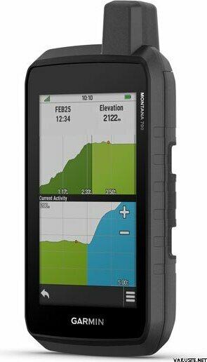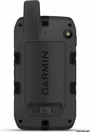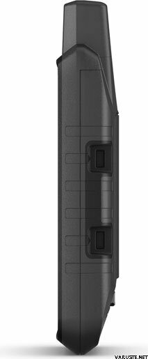
Garmin Montana 700
The product is temporarily out of stock.
Detailed availability
Notify me when this product is in stock again
Reviews
| Overall rating | (1 review) |
Product description
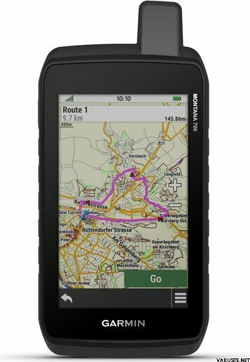
Montana 700 -käsilaitteen reititystä tukevat tie- ja polkukartat sekä edistykselliset ulkoiluominaisuudet kestävässä 5-tuumaisessa mallissa tekevät siitä ihanteellisen navigointiin esimerkiksi kävellen, pyörällä, kajakilla tai mönkijällä.
Pakkauksessa:
- Montana® 700
- Litiumioniakku
- USB-kaapeli
- Documentation
Vankka rakenne
Tämä kestävä vesitiivis käsilaite on testattu Yhdysvaltain sotilasstandardien mukaisesti ja siinä on käsineillä käytettävä 5-tuumainen kosketusnäyttö, joka on 50 % suurempi kuin aiemmissa Montana-malleissa.
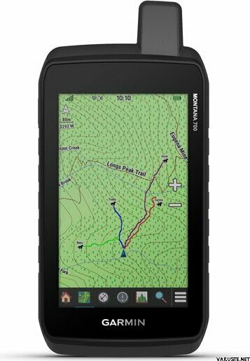
Topoactive Europe -kartat
Voit käyttää navigointiin esiladattuja TopoActive Europe -karttoja ja nähdä esimerkiksi korkeudet, rannikot, joet ja maamerkit.
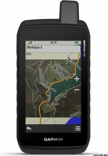
Satelliittinäkymät
Käyttämällä suoraan laitteeseen ladattavia BirdsEye-satelliittikuvia (vuositilausta ei tarvita) saat todenmukaiset näkymät ja voit luoda reittipisteitä maamerkkien perusteella.
ABC-anturit
Navigoi seuraava reittisi ABC-antureilla, joihin kuuluvat korkeusmittari, ilmanpainemittari sään seurantaan ja kolmiakselinen sähköinen kompassi.
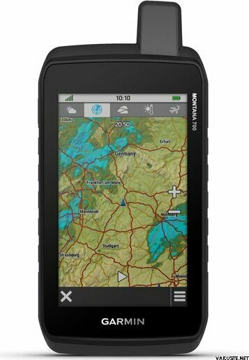
Aktiivinen sääpalvelu
Mobiiliyhteyden avulla voit käyttää ajantasaisia aktiivisen sääpalvelun ennusteita Garmin Connect™ -sovelluksen kautta.
Koirien seuranta
Metsästäjät ja kouluttajat voivat synkronoida Montana-laitteen Astro® tai Alpha® -sarjan käsilaitteiden (myydään erikseen) kanssa ja seurata liikkuvia koiria kentällä.
Tekniset tiedot
Mitat: 8.76 x 18,30 x 3,27 cm
Kosketusnäyttö: Kyllä
Näytön koko, lxk: 6,48 x 10,80 cm, lävistäjä 12,70 cm (5 tuumaa)
Näytön tarkkuus, lxk: 480 x 800 kuvapistettä
Näytön tyyppi: heijastava WVGA, kaksisuuntainen
Paino: 397 g mukana toimitettavan litiumioniakun kanssa
Akku: ladattava litiumioniakku (sisältyy) tai 3 AA-paristoa (eivät sisälly), litiumparistoja suositellaan
Akunkesto:
- GPS-tila: enintään 18 tuntia
- Virransäästötila: enintään 330 tuntia
Vesiluokitus: IPX7
Mil-STD-810: yes (thermal, shock, water, vibe)
Herkkä vastaanotin: Kyllä
Liitännät: Nopea micro-usb- ja NMEA 0183 -liitäntä
Muisti/historia: 16 gt (käyttäjän tila riippuu sisältyvistä kartoista)
Kartat ja muisti
Esiladatut kartat: Kyllä (Topoactive Europe)
Mahdollisuus lisätä karttoja: Kyllä
Peruskartta: Kyllä
Automaattinen reititys (tiereitti käännös käännökseltä): kyllä (valinnaiset yksityiskohtaiset tiekartat)
Karttaosiot: 15 000
Birdseye: kyllä (suoraan laitteeseen)
- Sisältää yksityiskohtaiset tiedot vesistöistä (rannikot, järvien ja jokien rantaviivat, kosteikot sekä pysyvät ja vuodenaikoihin liittyvät purot)
- Sisältää hakukelpoisia kohdepisteitä (puistot, leirintäalueet sekä maisema- ja eväsretkipaikat)
- Näyttää kansallispuistot sekä valtion puistot ja paikalliset puistot, metsät ja erämaa-alueet
Tallennuskapasiteetti ja teho: kyllä (enintään 32 gt:n microsd™-kortti)
Reittipisteet/suosikit/sijainnit: 10000
Jäljet: 250
Jälkiloki: 20 000 pistettä, 250 tallennettua gpx-jälkeä, 300 tallennettua fit-suoritusta
Reitit: 250, 250 reittikohtaista pistettä; 50 automaattisen reitityksen pistettä
Rinex-kirjaus: Kyllä
Anturit
- GPS
- Galileo
- Barometrinen korkeusmittari
- Kompassi (kallistuksen kompensointi, kolmiakselinen)
- Gps-kompassi (liikuttaessa)
Päivittäiset älyominaisuudet
- Connect IQ™ (ladattavat kellotaulut, tietokentät, widgetit ja sovellukset)
- Virb®-etäkäyttö
- Yhteensopiva Garmin Connect™ mobilen kanssa
- Aktiivinen sääpalvelu
- Älykkäät ilmoitukset käsilaitteessa
Turvallisuus- ja jäljitysominaisuudet
- Livetrack
Ulkoilu- ja virkistysominaisuudet
- Navigointipisteestä pisteeseen
- Basecamp™-yhteensopiva
- Pinta-alamittaus
- Metsästys-/kalastuskalenteri
- Auringon ja kuun vaiheiden tiedot
- Xero™-sijainnit
- Sopii geokätkennässä käytettäväksi
- Yhteensopiva mukautettujen karttojen kanssa: 500 mukautettua karttaruutua
- Kuvien katseluohjelma
- Led-taskulamppu
Inreach® features
- Tukee Inreach -etäkäyttöä
Ulkosovellukset
- Yhteensopiva Garmin Explore ™ -sovelluksen kanssa
- Tukee Garmin Explore -sivustoa
- Koiran seuranta: Kyllä (pariliitettynä yhteensopivaan koiran seurantajärjestelmään)
Yhteydet
This product can be delivered only by the methods below:
- Pickup in store
- Delivery to doorstep as agreed (Matkahuolto Kotijakelu)
- Delivery to doorstep as agreed (Posti Home Parcel)
- Delivery to doorstep (DB Schenker)
- Delivery to doorstep (Matkahuolto Jakopaketti)
- Delivery to doorstep (Posti)
- Delivery to doorstep (Posti morning)
- Euro pallet, at the agreed time
- Euro pallet, during working hours
- Express delivery to the recipient's address (DHL Express Worldwide)
- Letter with tracking
- Pickup from parcel locker (Posti)
- Pickup from parcel locker (PostNord)
- Pickup from parcel point (Matkahuolto)
- Pickup from parcel point Posti
- Pickup from parcel point (PostNord)
- Pickup from R-kioski or K-Market Parcel Point (DB Schenker)
- Posti freight to doorstep
- Rolltainer, at the agreed time
- Rolltainer, during working hours
- Special pallet
Barometric altimeter
Yes
Battery life max (h)
18, 330
Satellite communication
No
Screen resolution
480 x 800
Screen size (inches)
5,0
Suitable for geocaching
Yes
Weight
0,74 kg
(with sales package 0,8 kg)
Warranty
24 month(s)
Country of origin
Comments
| Overall rating | ☆☆☆☆☆ |
 — Show original
Brand


