Calazo
58 products

| Overall rating | (5 reviews) |
 — Show original
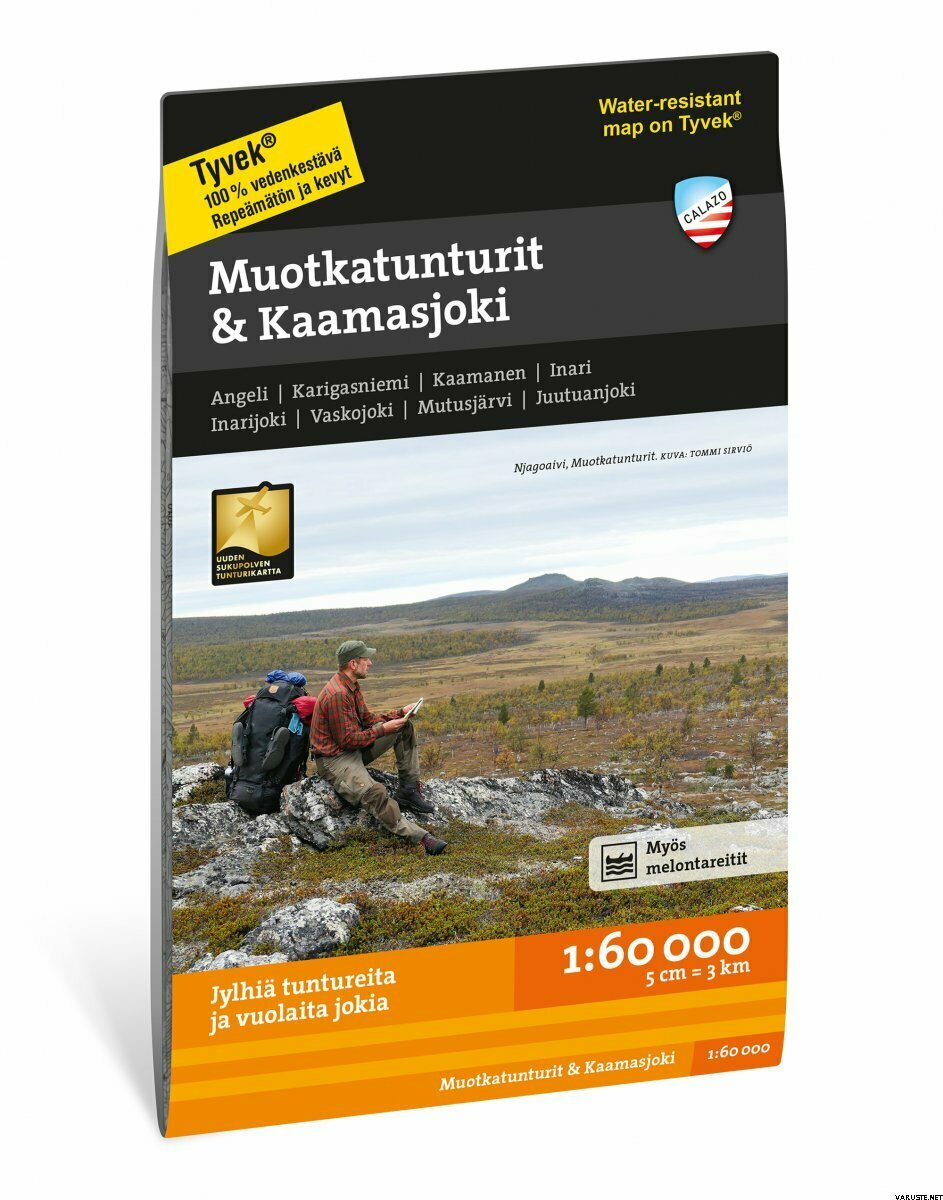
The Muotkatunturi wilderness area is best suited for experienced independent hikers. There are no marked routes here, but hikers navigate the fells, river valleys and palsa bogs using their own skills.
For river rafters, there is the upper branch of the Teno, the Inarijoki, the Kaamasjoki, which initially meanders as the Kielasjoki, and the Vaskojoki. The map reaches all the way to the fjords of the western part of Lake Inarijärvi.
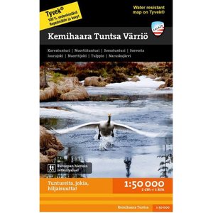
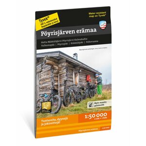
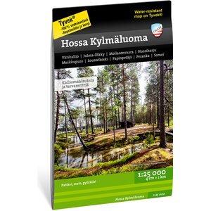
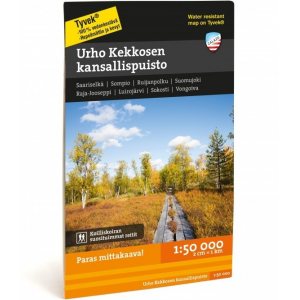
We use laser scanning data in our maps, which means that the terrain data, including contour lines, is more precise than before. Our maps are printed on Tyvek material, which is waterproof and tear-resistant. Thanks to the ingenious layout, all the most important hiking destinations in the area fit on one map.
Technical features
Scale: 1:60,000
ISBN: 9789189079038
Release year: 2022
Finland — Show original| Overall rating |
— Show originalCalazon maps are proven hiking maps! — Show originalA map that always works.