Calazo
58 products

| Overall rating | (10 reviews) |
 — Show original
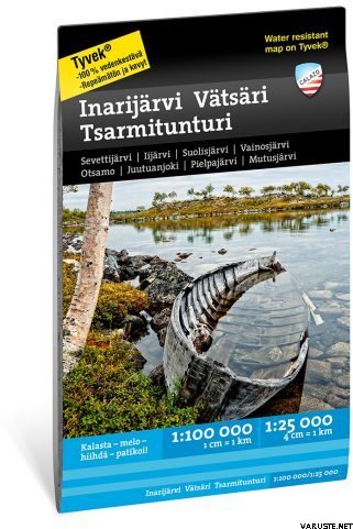
It is as deep as it is long!
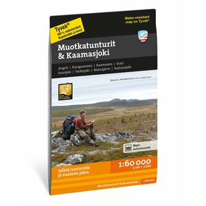
Lake Inari and its fjords attract kayakers, fishermen and sledders. The three surrounding wilderness areas offer challenges and tranquility for experienced hikers. There are also plenty of day trails in the vicinity of Inari.
Our maps are printed on excellent Tyvek® material, which is waterproof and tear-resistant. So you don't need to protect your map from the rain and your map won't tear during use. The manufacturer guarantees that the material will last 20,000 folds.
Thanks to the ingenious layout, all the most important tourist destinations in the area fit on one map.
Information on dangerous melt areas in Lake Inari: Sampo Parkkonen and Yrjö Teeriaho, 1990.
Finland — Show original| Overall rating |
— Show originalIt's good that it's printed on weather-resistant paper. The Vätsäri area is quite large-scale with a scale of 1:100,000, adding to the sense of adventure.| Overall rating |
— Show original
I had already used one of these but smaller, great "travel companion"| Overall rating |
— Show originalThe scale is a bit unnecessarily large and the water level readings of the water bodies were missing. — Show originalThe map has a very good print quality and the material is really functional. All sea signs and hammers are missing from the map. The smallest islands and archipelagos consisting of small islands are also missing. The map is by no means suitable for any kind of navigation, only for route planning!